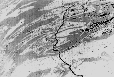

Landscape patterns can be calculated from land-use data such as this
image from the Appalachian Mountains.

How does landscape structure influence ecosystem function?

An understanding of the influence of landscape structure is critical for effective land-use management and environmental policy development.
Land use is a good indicator of risk to water quality from surface runoff--the proportion of landscape in a land-use type, and the dominance and contiguity of that type. This research improved the researchers' ability to analyze landscape patterns for large geographic areas and contributed to a customized geographic information system available on the Internet.

Hunsaker, C. T., D. A. Levine, S. P. Timmins, B. L. Jackson, and R. V. O'Neill. 1992. Landscape characterization for assessing regional water quality. In D. McKenzie, E. Hyatt, and J. McDonald (eds), Ecological Indicators. Elsevier Applied Science Publishers, N.Y.
Hunsaker, C. T. and D. A. Levine. 1995. Hierarchical approaches to the study of water quality in rivers. BioScience 45(3):193-203.
Integrated Assessment Briefs. 1995. ORNL/M-4227. Oak Ridge National Laboratory, Oak Ridge, TN.